
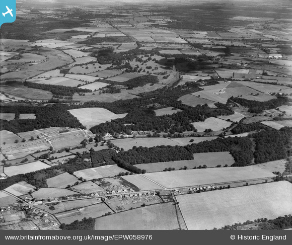
EPW058976 ENGLAND (1938). Countryside to the north of Long Dell, Easton, from the south, 1938
© Copyright OpenStreetMap contributors and licensed by the OpenStreetMap Foundation. 2025. Cartography is licensed as CC BY-SA.
Nearby Images (5)
EPW058976

EPW058974

EPW058975

EPW058973

EPW058972

Details
| Title | [EPW058976] Countryside to the north of Long Dell, Easton, from the south, 1938 |
| Reference | EPW058976 |
| Date | 30-August-1938 |
| Link | |
| Place name | EASTON |
| Parish | EASTON |
| District | |
| Country | ENGLAND |
| Easting / Northing | 614270, 311579 |
| Longitude / Latitude | 1.1686410219802, 52.659171216139 |
| National Grid Reference | TG143116 |
Pins
Be the first to add a comment to this image!