
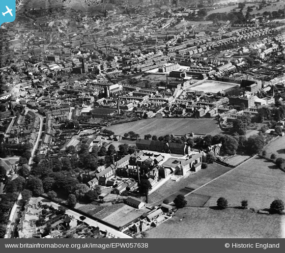
EPW057638 ENGLAND (1938). Macclesfield Workhouse and the town, Macclesfield, 1938
© Copyright OpenStreetMap contributors and licensed by the OpenStreetMap Foundation. 2026. Cartography is licensed as CC BY-SA.
Nearby Images (9)
EPW057638

EAW050365
, Oxford Road and environs, Macclesfield, 1953. This image was marked by Aerofilms Ltd for photo editing.")
EAW050366
, Oxford Road and environs, Macclesfield, 1953. This image was marked by Aerofilms Ltd for photo editing.")
EAW050368
, Oxford Road and environs, Macclesfield, 1953. This image was marked by Aerofilms Ltd for photo editing.")
EAW050371
, Oxford Road and environs, Macclesfield, 1953. This image was marked by Aerofilms Ltd for photo editing.")
EAW050372
, Oxford Road and environs, Macclesfield, 1953. This image was marked by Aerofilms Ltd for photo editing.")
EAW050367
, Oxford Road and environs, Macclesfield, 1953. This image was marked by Aerofilms Ltd for photo editing.")
EAW050370
, Oxford Road and environs, Macclesfield, 1953. This image was marked by Aerofilms Ltd for photo editing.")
EAW050369
, Oxford Road and environs, Macclesfield, 1953. This image was marked by Aerofilms Ltd for photo editing.")
Details
| Title | [EPW057638] Macclesfield Workhouse and the town, Macclesfield, 1938 |
| Reference | EPW057638 |
| Date | 17-June-1938 |
| Link | |
| Place name | MACCLESFIELD |
| Parish | |
| District | |
| Country | ENGLAND |
| Easting / Northing | 391006, 373744 |
| Longitude / Latitude | -2.1348434978774, 53.260343607753 |
| National Grid Reference | SJ910737 |
Pins

Steve Gregory |
Tuesday 14th of January 2014 09:00:45 PM | |
|
jonnyhud |
Tuesday 5th of November 2013 08:08:42 PM | |
|
jonnyhud |
Tuesday 5th of November 2013 08:07:44 PM | |
|
jonnyhud |
Tuesday 5th of November 2013 08:06:31 PM | |
|
jonnyhud |
Tuesday 5th of November 2013 07:56:29 PM | |
|
jonnyhud |
Tuesday 5th of November 2013 07:48:48 PM | |
|
jonnyhud |
Tuesday 5th of November 2013 07:47:52 PM | |
|
jonnyhud |
Tuesday 5th of November 2013 07:43:39 PM | |
|
jonnyhud |
Tuesday 5th of November 2013 07:42:23 PM |