
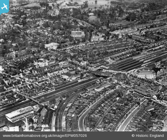
EPW057026 ENGLAND (1938). Wimbledon Hill Road and environs, Wimbledon, 1938. This image has been produced from a print.
© Copyright OpenStreetMap contributors and licensed by the OpenStreetMap Foundation. 2026. Cartography is licensed as CC BY-SA.
Nearby Images (10)
EPW057026

EPW057030

EPW010723

EPW011653

EPW057031

EPW057027

EPW011654

EPW057029

EPW057029A
, Wimbledon, 1938. This image has been produced from a copy-negative.")
EPW057029B
, Wimbledon, 1938. This image was modified by the Aerofilms Ltd Artists' Department and has been produced from a copy-negative.")
Details
| Title | [EPW057026] Wimbledon Hill Road and environs, Wimbledon, 1938. This image has been produced from a print. |
| Reference | EPW057026 |
| Date | 5-May-1938 |
| Link | |
| Place name | WIMBLEDON |
| Parish | |
| District | |
| Country | ENGLAND |
| Easting / Northing | 524718, 170692 |
| Longitude / Latitude | -0.20610242200112, 51.421008914456 |
| National Grid Reference | TQ247707 |
Pins

ChurchCrawler |
Tuesday 31st of May 2022 10:55:30 AM | |
|
ChurchCrawler |
Tuesday 31st of May 2022 10:53:43 AM | |
|
ChurchCrawler |
Tuesday 31st of May 2022 10:52:03 AM | |
|
ChurchCrawler |
Tuesday 31st of May 2022 10:45:51 AM | |
|
wessexpig |
Saturday 26th of January 2019 09:28:46 PM | |
|
Arthur |
Thursday 17th of March 2016 10:29:54 PM | |
|
Arthur |
Thursday 17th of March 2016 10:28:42 PM | |
|
Arthur |
Thursday 17th of March 2016 10:27:41 PM | |
|
Arthur |
Thursday 17th of March 2016 10:26:00 PM | |
|
Arthur |
Thursday 17th of March 2016 10:25:16 PM | |
|
Arthur |
Thursday 17th of March 2016 10:24:14 PM | |
|
Arthur |
Thursday 17th of March 2016 10:23:58 PM |