
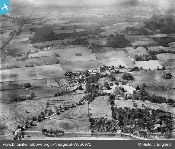
EPW056971 ENGLAND (1938). Mottisfont Abbey and the village, Mottisfont, 1938
© Copyright OpenStreetMap contributors and licensed by the OpenStreetMap Foundation. 2026. Cartography is licensed as CC BY-SA.
Nearby Images (5)
EPW056971

EPW056958

EPW056957

EPW057416

EPW056959

Details
| Title | [EPW056971] Mottisfont Abbey and the village, Mottisfont, 1938 |
| Reference | EPW056971 |
| Date | 26-April-1938 |
| Link | |
| Place name | MOTTISFONT |
| Parish | MOTTISFONT |
| District | |
| Country | ENGLAND |
| Easting / Northing | 432384, 126837 |
| Longitude / Latitude | -1.5380525525722, 51.039439375482 |
| National Grid Reference | SU324268 |
Pins
 |

Lee |
Friday 1st of November 2013 05:52:30 PM |
 |
Lee |
Friday 1st of November 2013 05:48:55 PM |
|
Lee |
Wednesday 23rd of October 2013 10:19:20 AM | |
|
Lee |
Wednesday 23rd of October 2013 10:18:52 AM | |
|
Lee |
Wednesday 23rd of October 2013 10:18:06 AM | |
|
Lee |
Wednesday 23rd of October 2013 10:14:20 AM | |
|
Lee |
Wednesday 23rd of October 2013 10:13:19 AM | |
|
Lee |
Wednesday 23rd of October 2013 10:11:15 AM |