
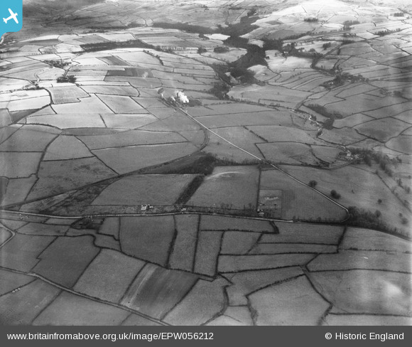
EPW056212 ENGLAND (1937). The Beckermet Iron Ore Mine and surrounding countryside, Beckermet, 1937
© Copyright OpenStreetMap contributors and licensed by the OpenStreetMap Foundation. 2025. Cartography is licensed as CC BY-SA.
Nearby Images (3)
EPW056212

EPW056201

EPW056210

Details
| Title | [EPW056212] The Beckermet Iron Ore Mine and surrounding countryside, Beckermet, 1937 |
| Reference | EPW056212 |
| Date | 6-December-1937 |
| Link | |
| Place name | BECKERMET |
| Parish | ST. JOHN BECKERMET |
| District | |
| Country | ENGLAND |
| Easting / Northing | 302229, 507959 |
| Longitude / Latitude | -3.5083439792419, 54.457454313954 |
| National Grid Reference | NY022080 |
Pins
Be the first to add a comment to this image!