
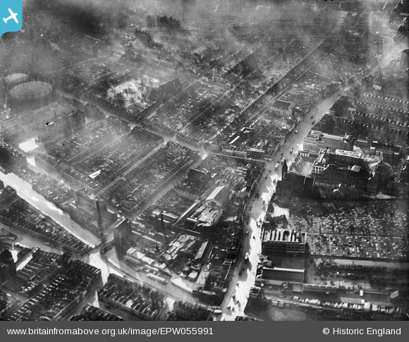
EPW055991 ENGLAND (1937). The Queen's Building, Mile End Road and environs, Mile End, 1937
© Copyright OpenStreetMap contributors and licensed by the OpenStreetMap Foundation. 2026. Cartography is licensed as CC BY-SA.
Nearby Images (2)
EPW055991

EPW055988

Details
| Title | [EPW055991] The Queen's Building, Mile End Road and environs, Mile End, 1937 |
| Reference | EPW055991 |
| Date | 9-November-1937 |
| Link | |
| Place name | MILE END |
| Parish | |
| District | |
| Country | ENGLAND |
| Easting / Northing | 536130, 182204 |
| Longitude / Latitude | -0.037619865182478, 51.521844376772 |
| National Grid Reference | TQ361822 |
Pins

ray 7 |
Friday 3rd of July 2020 08:32:21 PM | |
|
ray 7 |
Tuesday 19th of May 2020 09:33:46 PM | |
|
ray 7 |
Tuesday 19th of May 2020 09:30:29 PM | |
my mother lived at no 127 until 1934 |
ray 7 |
Friday 3rd of July 2020 08:43:28 PM |
|
SteveA |
Monday 6th of January 2014 08:04:51 PM | |
my grandfather and grandmother married there 1907 |
ray 7 |
Friday 3rd of July 2020 08:37:50 PM |
|
SteveA |
Monday 6th of January 2014 07:47:03 PM | |
|
SteveA |
Monday 6th of January 2014 07:45:51 PM | |
|
SteveA |
Monday 6th of January 2014 07:43:09 PM | |
|
Winker Watson |
Saturday 26th of October 2013 09:57:10 PM | |
|
Winker Watson |
Saturday 26th of October 2013 09:54:10 PM | |
|
Winker Watson |
Saturday 26th of October 2013 09:53:04 PM |

User Comment Contributions

Queen Mary University of London 07/05/2014 |

Class31 |
Tuesday 28th of April 2015 09:31:59 AM |