
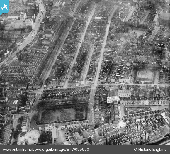
EPW055990 ENGLAND (1937). Lydia Street and environs, Mile End, 1937
© Copyright OpenStreetMap contributors and licensed by the OpenStreetMap Foundation. 2026. Cartography is licensed as CC BY-SA.
Nearby Images (3)
EPW055990

EPW055989

EPW055988

Details
| Title | [EPW055990] Lydia Street and environs, Mile End, 1937 |
| Reference | EPW055990 |
| Date | 9-November-1937 |
| Link | |
| Place name | MILE END |
| Parish | |
| District | |
| Country | ENGLAND |
| Easting / Northing | 535822, 181986 |
| Longitude / Latitude | -0.042141087898409, 51.51995932647 |
| National Grid Reference | TQ358820 |


