
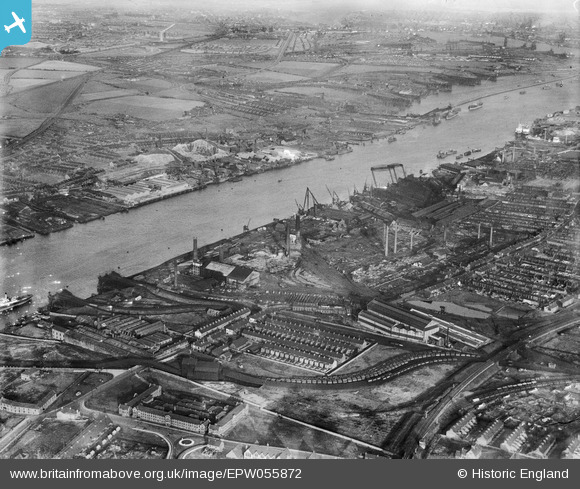
EPW055872 ENGLAND (1937). The Thomas W. Ward Works and environs, Jarrow, from the south-west, 1937
© Copyright OpenStreetMap contributors and licensed by the OpenStreetMap Foundation. 2026. Cartography is licensed as CC BY-SA.
Nearby Images (2)
EPW055872

EPW055869

Details
| Title | [EPW055872] The Thomas W. Ward Works and environs, Jarrow, from the south-west, 1937 |
| Reference | EPW055872 |
| Date | 24-October-1937 |
| Link | |
| Place name | JARROW |
| Parish | |
| District | |
| Country | ENGLAND |
| Easting / Northing | 432160, 565558 |
| Longitude / Latitude | -1.4974081254962, 54.983507216493 |
| National Grid Reference | NZ322656 |
Pins

N Dunn |
Monday 9th of September 2013 08:05:38 PM | |
|
N Dunn |
Monday 9th of September 2013 08:04:49 PM | |
|
N Dunn |
Monday 9th of September 2013 08:04:21 PM | |
|
N Dunn |
Monday 9th of September 2013 08:03:20 PM | |
|
N Dunn |
Monday 9th of September 2013 08:00:46 PM | |
|
N Dunn |
Monday 9th of September 2013 07:58:42 PM | |
 |
N Dunn |
Monday 9th of September 2013 07:57:27 PM |
 |
N Dunn |
Monday 9th of September 2013 07:53:37 PM |