
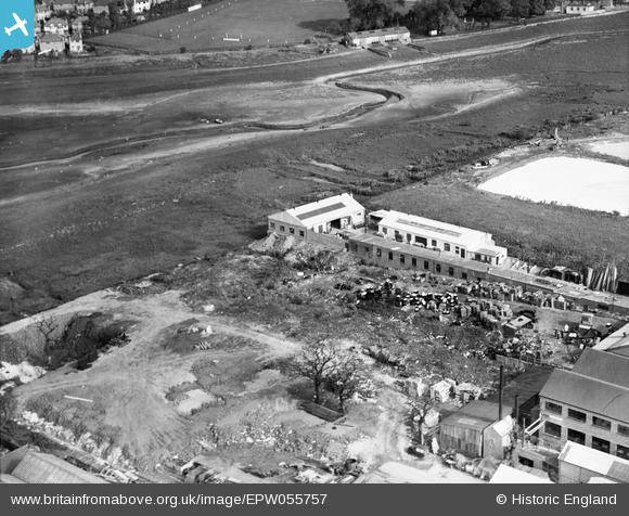
EPW055757 ENGLAND (1937). Industrial units alongside the Brent Reservoir, Dollis Hill, 1937
© Copyright OpenStreetMap contributors and licensed by the OpenStreetMap Foundation. 2026. Cartography is licensed as CC BY-SA.
Nearby Images (24)
EPW055757

EPW055758

EPW055760

EPW055759

EPW032177

EPW055815

EPW050428

EPW046460

EAW004148

EPW046461

EAW004145

EPW055813

EPW055814

EPW055818

EPW055817

EPW038699

EAW004147

EPW055819

EAW004144

EAW004149

EAW004146

EPW020221

EPW032178

EPW055816

Details
| Title | [EPW055757] Industrial units alongside the Brent Reservoir, Dollis Hill, 1937 |
| Reference | EPW055757 |
| Date | 9-October-1937 |
| Link | |
| Place name | DOLLIS HILL |
| Parish | |
| District | |
| Country | ENGLAND |
| Easting / Northing | 522107, 187247 |
| Longitude / Latitude | -0.23790904369269, 51.570378324099 |
| National Grid Reference | TQ221872 |
Pins
Be the first to add a comment to this image!