
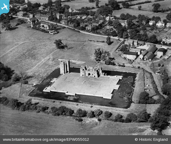
EPW055012 ENGLAND (1937). Kirby Muxloe Castle Ruins, Kirby Muxloe, 1937
© Copyright OpenStreetMap contributors and licensed by the OpenStreetMap Foundation. 2026. Cartography is licensed as CC BY-SA.
Nearby Images (7)
EPW055012

EAW004982

EAW004984

EAW004986

EAW004981

EAW004985

EAW004983

Details
| Title | [EPW055012] Kirby Muxloe Castle Ruins, Kirby Muxloe, 1937 |
| Reference | EPW055012 |
| Date | August-1937 |
| Link | |
| Place name | KIRBY MUXLOE |
| Parish | KIRBY MUXLOE |
| District | |
| Country | ENGLAND |
| Easting / Northing | 452372, 304610 |
| Longitude / Latitude | -1.2260197271508, 52.636357064198 |
| National Grid Reference | SK524046 |
Pins
Be the first to add a comment to this image!
User Comment Contributions
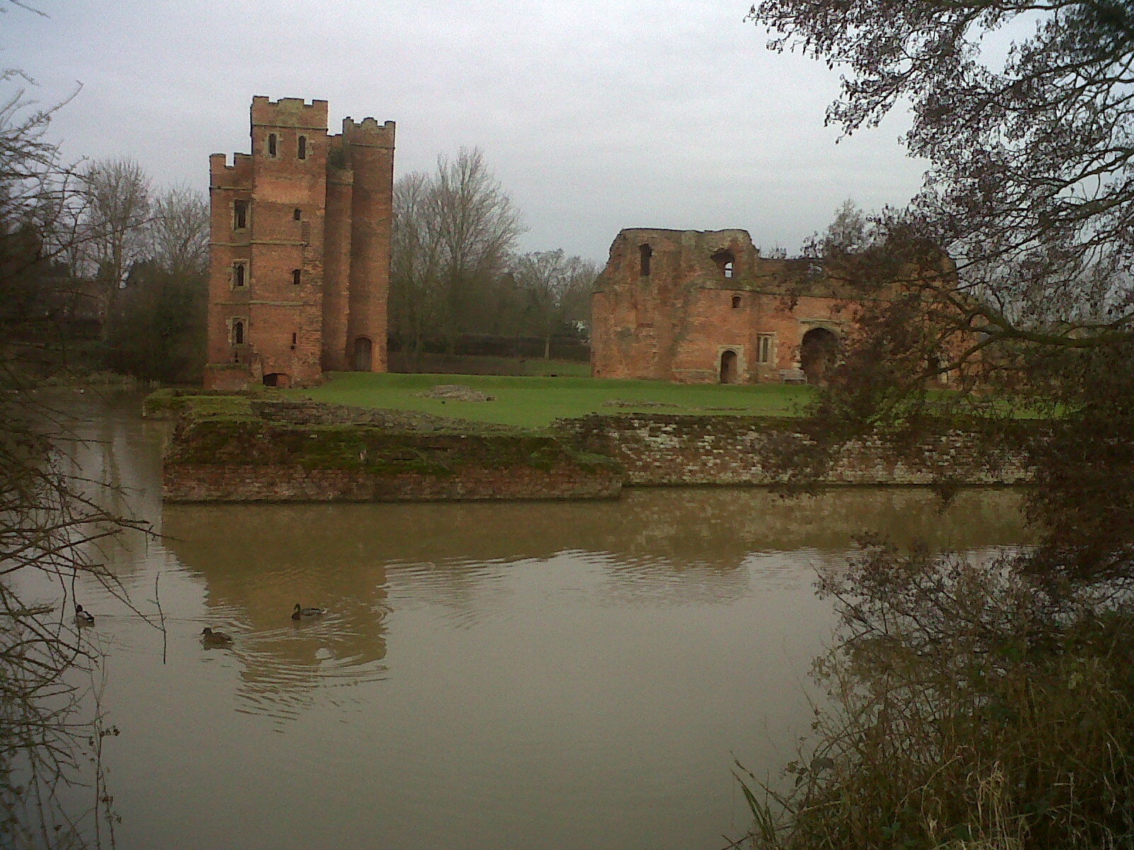
Looking north west 08/02/2013 |

Class31 |
Sunday 15th of September 2013 06:57:37 PM |