
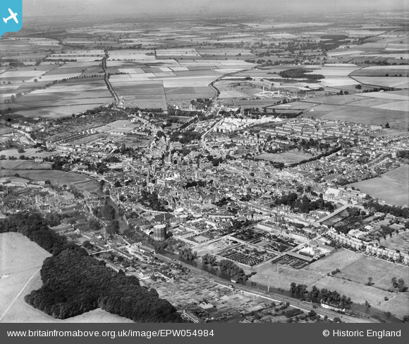
EPW054984 ENGLAND (1937). The town, Stamford, from the south-east, 1937
© Copyright OpenStreetMap contributors and licensed by the OpenStreetMap Foundation. 2026. Cartography is licensed as CC BY-SA.
Nearby Images (10)
EPW054984

EPW054983

EAW008131

EAW008132

EAW008127

EAW008126

EAW008130

EAW008125

EAW008128

EAW008129

Details
| Title | [EPW054984] The town, Stamford, from the south-east, 1937 |
| Reference | EPW054984 |
| Date | 17-August-1937 |
| Link | |
| Place name | STAMFORD |
| Parish | STAMFORD |
| District | |
| Country | ENGLAND |
| Easting / Northing | 503344, 307091 |
| Longitude / Latitude | -0.47217186267614, 52.651341916568 |
| National Grid Reference | TF033071 |
Pins

diag |
Saturday 26th of July 2014 08:41:38 PM | |

Class31 |
Wednesday 16th of April 2014 08:27:07 PM | |
|
MB |
Friday 1st of November 2013 09:31:52 AM | |
|
MB |
Friday 1st of November 2013 09:31:20 AM | |
|
Euclid |
Friday 1st of November 2013 03:22:26 AM | |
|
Euclid |
Friday 1st of November 2013 03:19:58 AM | |
|
Euclid |
Friday 1st of November 2013 03:17:35 AM | |
|
Euclid |
Friday 1st of November 2013 03:11:21 AM | |
|
Euclid |
Friday 1st of November 2013 03:09:29 AM | |
|
diag |
Sunday 27th of October 2013 06:42:58 PM | |
|
diag |
Sunday 27th of October 2013 06:42:11 PM | |
|
diag |
Sunday 27th of October 2013 06:41:28 PM | |
|
diag |
Sunday 27th of October 2013 06:40:48 PM | |
|
diag |
Sunday 22nd of September 2013 05:31:49 PM |
