
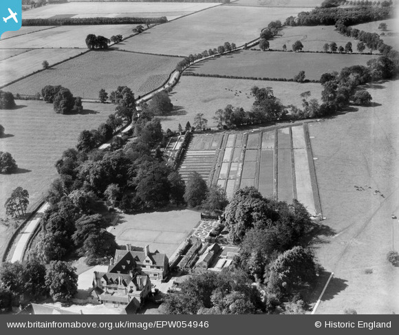
EPW054946 ENGLAND (1937). Greatford Hall, Greatford, 1937
© Copyright OpenStreetMap contributors and licensed by the OpenStreetMap Foundation. 2026. Cartography is licensed as CC BY-SA.
Nearby Images (7)
EPW054946

EPW054945

EPW054947

EPW054942

EPW054941

EPW054944

EPW054943

Details
| Title | [EPW054946] Greatford Hall, Greatford, 1937 |
| Reference | EPW054946 |
| Date | 17-August-1937 |
| Link | |
| Place name | GREATFORD |
| Parish | GREATFORD |
| District | |
| Country | ENGLAND |
| Easting / Northing | 508359, 311750 |
| Longitude / Latitude | -0.3965288802862, 52.69223441812 |
| National Grid Reference | TF084118 |
Pins
Be the first to add a comment to this image!