
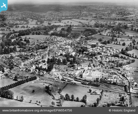
EPW054756 ENGLAND (1937). The town, Wincanton, from the south-west, 1937
© Copyright OpenStreetMap contributors and licensed by the OpenStreetMap Foundation. 2026. Cartography is licensed as CC BY-SA.
Nearby Images (12)
EPW054756

EPW054751

EPW054750

EPW054749

EPW054752

EPW054753

EPW054739

EPW033736

EPW033737

EPW033735

EPW033738

EPW033739

Details
| Title | [EPW054756] The town, Wincanton, from the south-west, 1937 |
| Reference | EPW054756 |
| Date | August-1937 |
| Link | |
| Place name | WINCANTON |
| Parish | WINCANTON |
| District | |
| Country | ENGLAND |
| Easting / Northing | 371132, 128374 |
| Longitude / Latitude | -2.4119168748706, 51.053449045627 |
| National Grid Reference | ST711284 |
Pins
Be the first to add a comment to this image!