
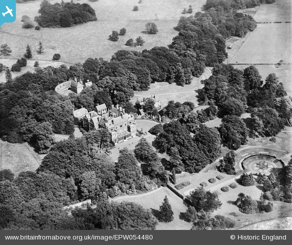
EPW054480 ENGLAND (1937). Rossington Hall and garden, Rossington, 1937
© Copyright OpenStreetMap contributors and licensed by the OpenStreetMap Foundation. 2025. Cartography is licensed as CC BY-SA.
Nearby Images (6)
EPW054480

EPW054473

EPW054478

EPW054476

EPW054477

EPW054471

Details
| Title | [EPW054480] Rossington Hall and garden, Rossington, 1937 |
| Reference | EPW054480 |
| Date | 30-July-1937 |
| Link | |
| Place name | ROSSINGTON |
| Parish | ROSSINGTON |
| District | |
| Country | ENGLAND |
| Easting / Northing | 463832, 396638 |
| Longitude / Latitude | -1.038442147074, 53.462360453884 |
| National Grid Reference | SK638966 |
Pins
Be the first to add a comment to this image!