
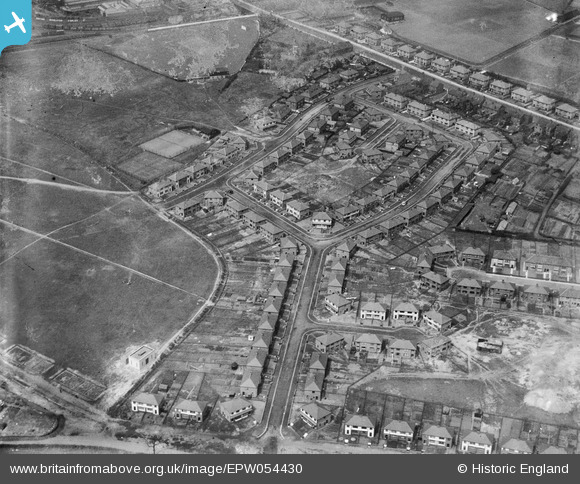
EPW054430 ENGLAND (1937). Housing surrounding Beechwood Grove and Poplar Grove, Prescot, 1937. This image has been produced from a damaged negative.
© Copyright OpenStreetMap contributors and licensed by the OpenStreetMap Foundation. 2026. Cartography is licensed as CC BY-SA.
Nearby Images (2)
EPW054430

EPW026177

Details
| Title | [EPW054430] Housing surrounding Beechwood Grove and Poplar Grove, Prescot, 1937. This image has been produced from a damaged negative. |
| Reference | EPW054430 |
| Date | 30-July-1937 |
| Link | |
| Place name | PRESCOT |
| Parish | PRESCOT |
| District | |
| Country | ENGLAND |
| Easting / Northing | 347400, 392011 |
| Longitude / Latitude | -2.7916064374769, 53.422011472172 |
| National Grid Reference | SJ474920 |
Pins
Be the first to add a comment to this image!