
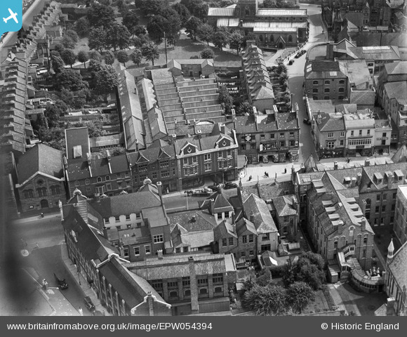
EPW054394 ENGLAND (1937). Abington Lane, St Giles' Terrace and environs, Northampton, 1937
© Copyright OpenStreetMap contributors and licensed by the OpenStreetMap Foundation. 2026. Cartography is licensed as CC BY-SA.
Nearby Images (6)
EPW054394

EPW054395

EPW054396

EAW025946

EPW057752

EPW034347

Details
| Title | [EPW054394] Abington Lane, St Giles' Terrace and environs, Northampton, 1937 |
| Reference | EPW054394 |
| Date | 26-July-1937 |
| Link | |
| Place name | NORTHAMPTON |
| Parish | |
| District | |
| Country | ENGLAND |
| Easting / Northing | 475891, 260706 |
| Longitude / Latitude | -0.88848132981979, 52.238908152042 |
| National Grid Reference | SP759607 |
Pins

gsward |
Friday 16th of September 2016 11:39:42 AM | |
Lynda Tubbs |
Tuesday 17th of September 2013 10:30:05 AM | |
Lynda Tubbs |
Tuesday 17th of September 2013 10:29:22 AM | |
Lynda Tubbs |
Tuesday 17th of September 2013 10:28:36 AM | |

Maurice |
Thursday 12th of September 2013 06:03:19 AM | |
Lynda Tubbs |
Wednesday 11th of September 2013 01:24:27 PM |