
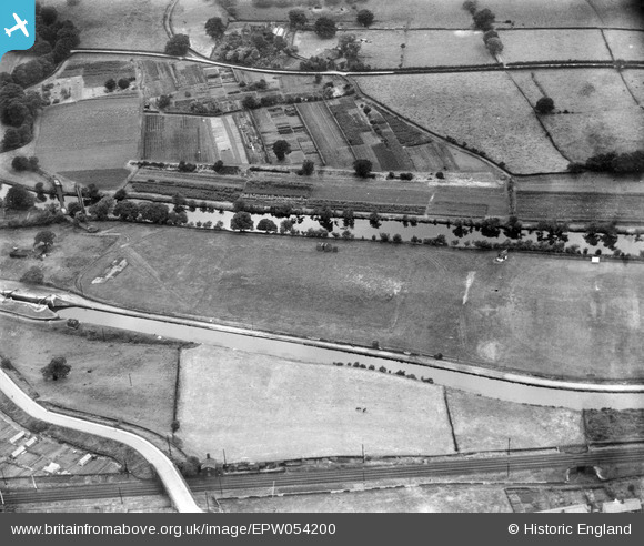
EPW054200 ENGLAND (1937). The playing fields in-between the River Aire and the Leeds and Liverpool Canal, Saltaire, 1937
© Copyright OpenStreetMap contributors and licensed by the OpenStreetMap Foundation. 2026. Cartography is licensed as CC BY-SA.
Nearby Images (6)
EPW054200

EPW054193

EPW054208

EPW054201

EPW054194

EPW054195

Details
| Title | [EPW054200] The playing fields in-between the River Aire and the Leeds and Liverpool Canal, Saltaire, 1937 |
| Reference | EPW054200 |
| Date | 13-July-1937 |
| Link | |
| Place name | SALTAIRE |
| Parish | |
| District | |
| Country | ENGLAND |
| Easting / Northing | 413324, 438289 |
| Longitude / Latitude | -1.7974876575777, 53.840468860242 |
| National Grid Reference | SE133383 |
Pins

Trevor Hesselwood |
Monday 4th of November 2013 04:07:16 PM | |
|
Trevor Hesselwood |
Monday 4th of November 2013 04:05:35 PM |