
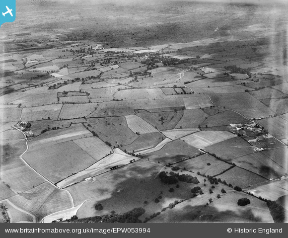
EPW053994 ENGLAND (1937). Countryside between Aspenden and Cottered near Buttermilk Hall Farm, Aspenden, from the east, 1937
© Copyright OpenStreetMap contributors and licensed by the OpenStreetMap Foundation. 2025. Cartography is licensed as CC BY-SA.
Nearby Images (4)
EPW053994

EPW054001

EPW053998

EPW053997

Details
| Title | [EPW053994] Countryside between Aspenden and Cottered near Buttermilk Hall Farm, Aspenden, from the east, 1937 |
| Reference | EPW053994 |
| Date | June-1937 |
| Link | |
| Place name | ASPENDEN |
| Parish | ASPENDEN |
| District | |
| Country | ENGLAND |
| Easting / Northing | 534195, 228843 |
| Longitude / Latitude | -0.047512810424955, 51.941450986405 |
| National Grid Reference | TL342288 |
Pins
Be the first to add a comment to this image!