
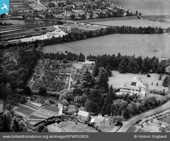
EPW053829 ENGLAND (1937). Pixham End and environs, Pixham, 1937
© Copyright OpenStreetMap contributors and licensed by the OpenStreetMap Foundation. 2026. Cartography is licensed as CC BY-SA.
Nearby Images (7)
EPW053829

EPW053826

EPW053832

EAW015273

EPW053835

EPW053825

EPW025271

Details
| Title | [EPW053829] Pixham End and environs, Pixham, 1937 |
| Reference | EPW053829 |
| Date | 25-June-1937 |
| Link | |
| Place name | PIXHAM |
| Parish | |
| District | |
| Country | ENGLAND |
| Easting / Northing | 517185, 150622 |
| Longitude / Latitude | -0.32100635026444, 51.24220976863 |
| National Grid Reference | TQ172506 |
Pins
Be the first to add a comment to this image!