
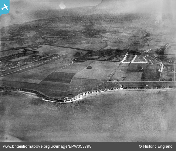
EPW053798 ENGLAND (1937). Foreness Point and the housing estate site at Northdown, Cliftonville, from the north, 1937. This image has been produced from a damaged negative.
© Copyright OpenStreetMap contributors and licensed by the OpenStreetMap Foundation. 2026. Cartography is licensed as CC BY-SA.
Nearby Images (2)
EPW053798

EPW009234

Details
| Title | [EPW053798] Foreness Point and the housing estate site at Northdown, Cliftonville, from the north, 1937. This image has been produced from a damaged negative. |
| Reference | EPW053798 |
| Date | 26-June-1937 |
| Link | |
| Place name | CLIFTONVILLE |
| Parish | |
| District | |
| Country | ENGLAND |
| Easting / Northing | 638225, 171656 |
| Longitude / Latitude | 1.4247999354262, 51.393345617103 |
| National Grid Reference | TR382717 |
Pins
Be the first to add a comment to this image!