
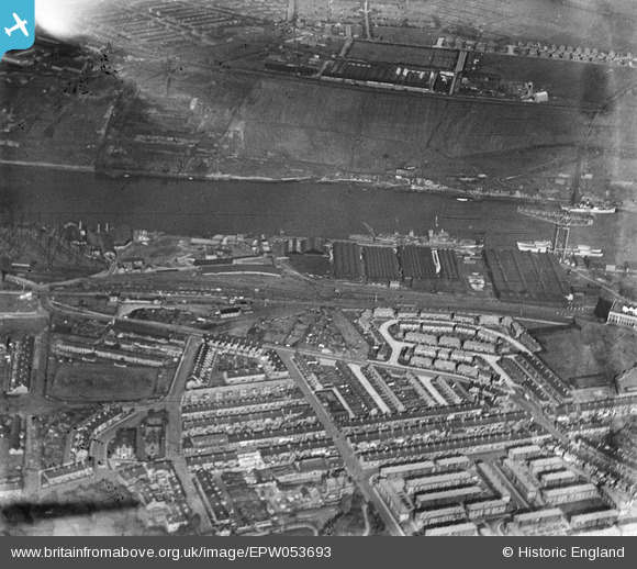
EPW053693 ENGLAND (1937). The River Tyne between the Riverside Branch Railway Sidings and the Tyne Sulphur and Copper Works and environs, Walker, 1937
© Copyright OpenStreetMap contributors and licensed by the OpenStreetMap Foundation. 2026. Cartography is licensed as CC BY-SA.
Nearby Images (2)
EPW053693

EPW053691

Details
| Title | [EPW053693] The River Tyne between the Riverside Branch Railway Sidings and the Tyne Sulphur and Copper Works and environs, Walker, 1937 |
| Reference | EPW053693 |
| Date | 15-June-1937 |
| Link | |
| Place name | WALKER |
| Parish | |
| District | |
| Country | ENGLAND |
| Easting / Northing | 429678, 564044 |
| Longitude / Latitude | -1.5363517841786, 54.970055025501 |
| National Grid Reference | NZ297640 |
Pins
Be the first to add a comment to this image!