
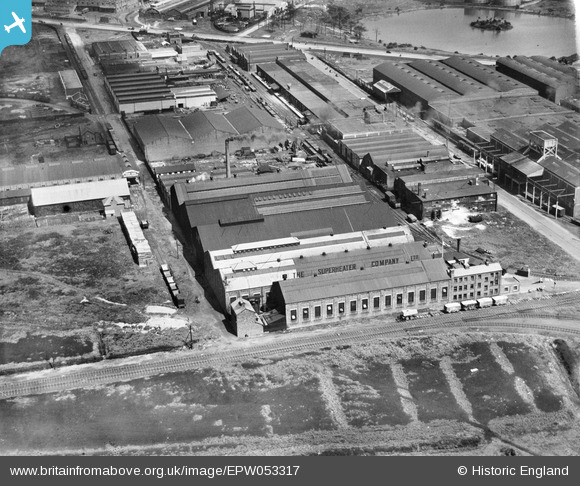
EPW053317 ENGLAND (1937). The Superheater Company Engineering Works, Trafford Park, 1937
© Copyright OpenStreetMap contributors and licensed by the OpenStreetMap Foundation. 2026. Cartography is licensed as CC BY-SA.
Nearby Images (43)
EPW053317

EPW053318

EPW053322

EPW053319

EPW053321

EPW053323

EPW053320

EPW027467

EAW002498

EPW009623

EPW009624

EPW009625

EPW009668

EAW002503

EPW009626

EPW027464

EPW009621

EPW009622

EAW050190

EAW002505

EAW002504

EAW050191

EAW050193

EAW002502

EAW050192

EAW002500

EAW050188

EAW050195

EAW050187

EAW050189

EAW002501

EAW002497

EAW050194

EAW002499

EPW028131

EPW028133

EAW036241

EAW036240

EAW036239

EAW036242

EAW036243

EAW036238

EPW028132

Details
| Title | [EPW053317] The Superheater Company Engineering Works, Trafford Park, 1937 |
| Reference | EPW053317 |
| Date | 27-May-1937 |
| Link | |
| Place name | TRAFFORD PARK |
| Parish | |
| District | |
| Country | ENGLAND |
| Easting / Northing | 378955, 397019 |
| Longitude / Latitude | -2.3170668036095, 53.469233691347 |
| National Grid Reference | SJ790970 |
Pins
Be the first to add a comment to this image!