
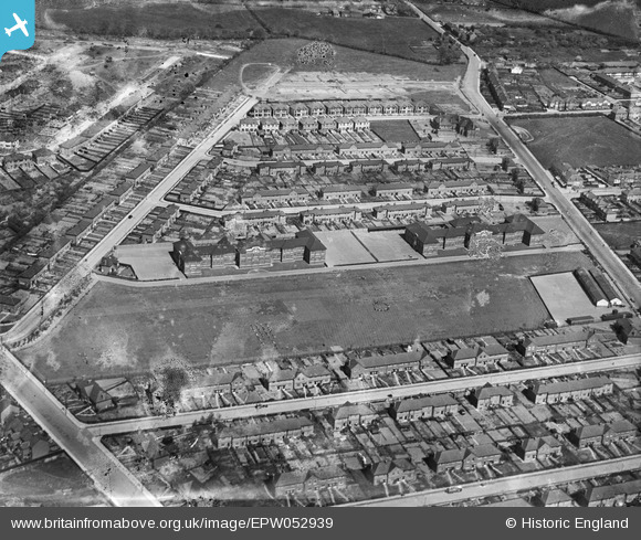
EPW052939 ENGLAND (1937). Fairlop School and environs, Fairlop, 1937. This image has been produced from a damaged negative.
© Copyright OpenStreetMap contributors and licensed by the OpenStreetMap Foundation. 2026. Cartography is licensed as CC BY-SA.
Nearby Images (7)
EPW052939

EPW052943

EPW052941

EPW052938

EPW052937

EPW052940

EPW052942

Details
| Title | [EPW052939] Fairlop School and environs, Fairlop, 1937. This image has been produced from a damaged negative. |
| Reference | EPW052939 |
| Date | 4-May-1937 |
| Link | |
| Place name | FAIRLOP |
| Parish | |
| District | |
| Country | ENGLAND |
| Easting / Northing | 544311, 190986 |
| Longitude / Latitude | 0.083837190833077, 51.598732281898 |
| National Grid Reference | TQ443910 |
Pins
Be the first to add a comment to this image!