
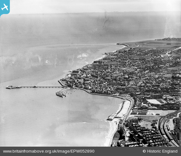
EPW052890 ENGLAND (1937). The harbour and the town, Margate, from the west, 1937
© Copyright OpenStreetMap contributors and licensed by the OpenStreetMap Foundation. 2026. Cartography is licensed as CC BY-SA.
Nearby Images (15)
EPW052890

EPW035466

EPW042850

EPW039326

EPW039327

EAW024853

EPW018605

EAW024852

EPW009165

EPW009164

EPW009162

EPW009161

EPW035473

EPW000162

EPW000630

Details
| Title | [EPW052890] The harbour and the town, Margate, from the west, 1937 |
| Reference | EPW052890 |
| Date | 24-April-1937 |
| Link | |
| Place name | MARGATE |
| Parish | |
| District | |
| Country | ENGLAND |
| Easting / Northing | 634925, 170988 |
| Longitude / Latitude | 1.3770052219808, 51.388724744908 |
| National Grid Reference | TR349710 |
Pins

John W |
Friday 7th of October 2016 08:25:23 PM | |
|
John W |
Friday 7th of October 2016 08:24:52 PM | |
|
242_Cat |
Friday 6th of June 2014 04:02:48 PM | |
|
TLeverton@aol.com |
Monday 23rd of September 2013 05:51:59 PM |
User Comment Contributions
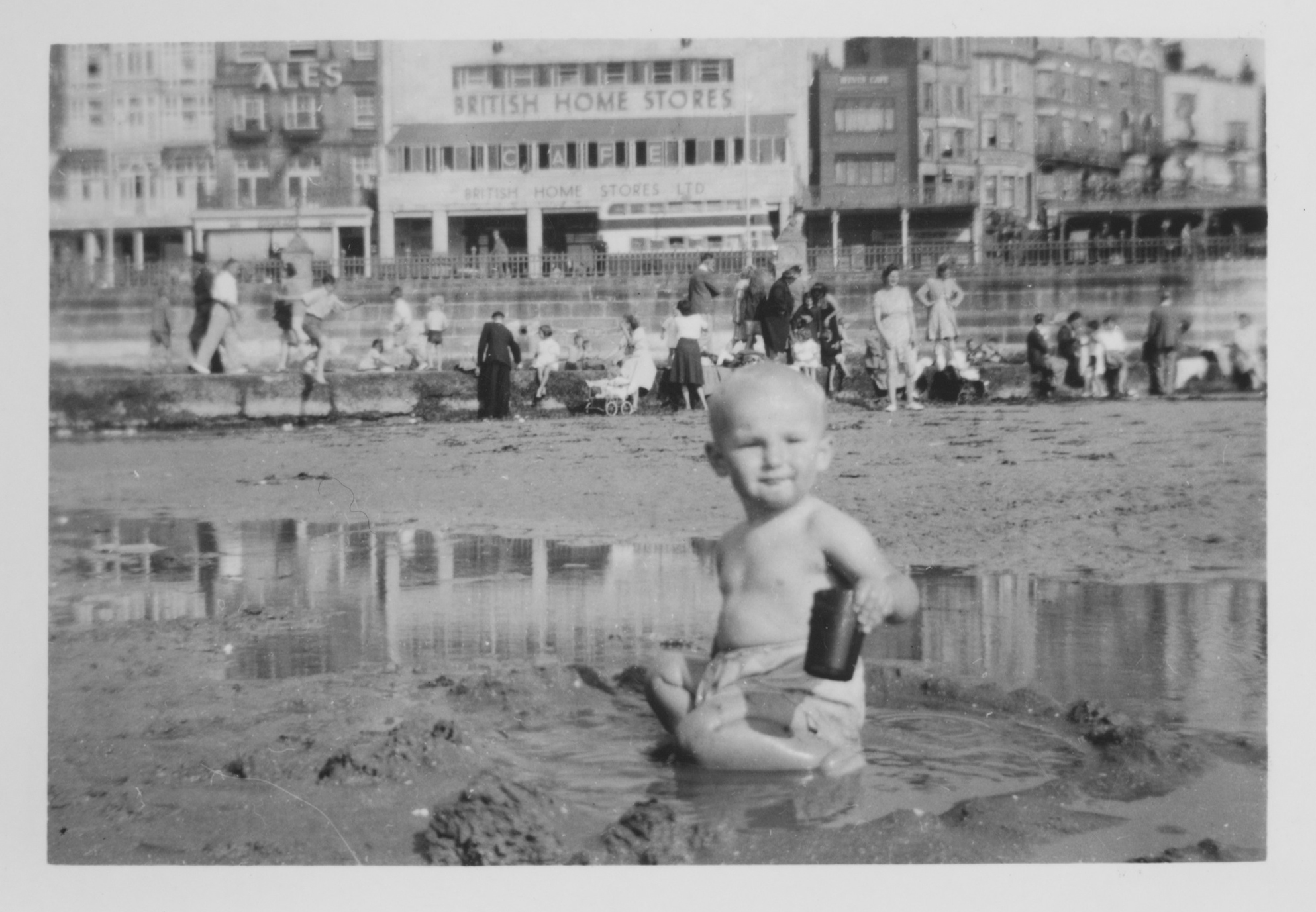
Attached photo is from 1947 |
TLeverton@aol.com |
Monday 23rd of September 2013 05:53:48 PM |