
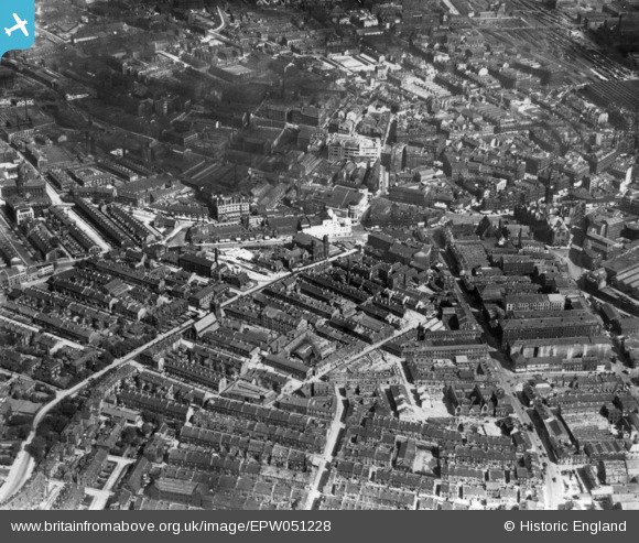
EPW051228 ENGLAND (1936). The city centre, Bradford, 1936. This image has been produced from a print.
© Copyright OpenStreetMap contributors and licensed by the OpenStreetMap Foundation. 2026. Cartography is licensed as CC BY-SA.
Nearby Images (23)
EPW051228

EPW028915

EPW024393

EPW024404

EPW028912

EPW028913

EAW030801

EPW024390

EPW024521

EPW024392

EPW057183

EPW054319

EAW030799

EPW057186

EPW024501

EAW030798

EPW054313

EPW024395

EAW030800

EPW057191

EPW057189

EPW024409

EPW024505

Details
| Title | [EPW051228] The city centre, Bradford, 1936. This image has been produced from a print. |
| Reference | EPW051228 |
| Date | July-1936 |
| Link | |
| Place name | BRADFORD |
| Parish | |
| District | |
| Country | ENGLAND |
| Easting / Northing | 416120, 432769 |
| Longitude / Latitude | -1.7552806889854, 53.790770860745 |
| National Grid Reference | SE161328 |
Pins
Be the first to add a comment to this image!