
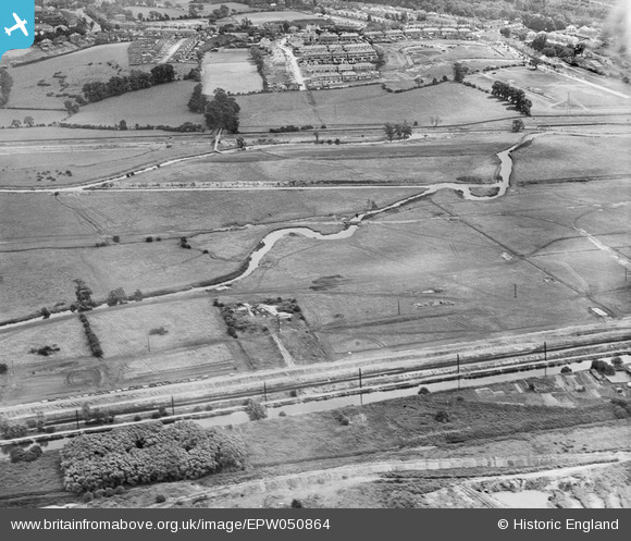
EPW050864 ENGLAND (1936). The site of the William Girling Reservoir, Edmonton, 1936
© Copyright OpenStreetMap contributors and licensed by the OpenStreetMap Foundation. 2026. Cartography is licensed as CC BY-SA.
Nearby Images (23)
EPW050864

EPW056333

EPW050868

EPW052264

EPW053852
 Reservoir under construction, Edmonton, 1937")
EPW053851
 Reservoir under construction, Edmonton, 1937")
EPW056829

EPW056810

EPW058470
 Reservoir under construction, Edmonton, 1938")
EAW040970

EPW060631

EPW056334

EPW053848
 Reservoir under construction, Edmonton, 1937")
EPW058459
 Reservoir under construction, Edmonton, 1938")
EPW055977

EPW055985

EPW060640

EAW040969

EPW049700

EPW048913

EPW052283

EPW056820

EPW052280

Details
| Title | [EPW050864] The site of the William Girling Reservoir, Edmonton, 1936 |
| Reference | EPW050864 |
| Date | July-1936 |
| Link | |
| Place name | EDMONTON |
| Parish | |
| District | |
| Country | ENGLAND |
| Easting / Northing | 536618, 194075 |
| Longitude / Latitude | -0.025971742605612, 51.628411944288 |
| National Grid Reference | TQ366941 |
Pins
Be the first to add a comment to this image!