
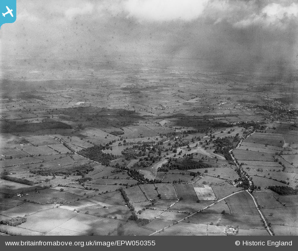
EPW050355 ENGLAND (1936). Willesley Park and surrounding countryside, Willesley, from the south, 1936
© Copyright OpenStreetMap contributors and licensed by the OpenStreetMap Foundation. 2026. Cartography is licensed as CC BY-SA.
Nearby Images (5)
EPW050355

EPW050344

EPW050343

EPW050358

EPW050351

Details
| Title | [EPW050355] Willesley Park and surrounding countryside, Willesley, from the south, 1936 |
| Reference | EPW050355 |
| Date | June-1936 |
| Link | |
| Place name | WILLESLEY |
| Parish | ASHBY-DE-LA-ZOUCH |
| District | |
| Country | ENGLAND |
| Easting / Northing | 434109, 315051 |
| Longitude / Latitude | -1.4948232705721, 52.731680825644 |
| National Grid Reference | SK341151 |
Pins
Be the first to add a comment to this image!