
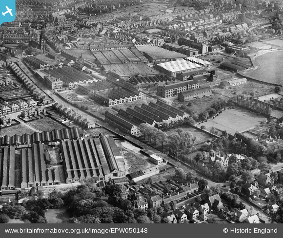
EPW050148 ENGLAND (1936). The Villiers Engineering Works and environs, Blakenhall, 1936
© Copyright OpenStreetMap contributors and licensed by the OpenStreetMap Foundation. 2026. Cartography is licensed as CC BY-SA.
Nearby Images (23)
EPW050148

EPW050142

EPW050141

EPW050145

EPW050146

EPW050143

EPW008121

EPW050144

EPW049917

EAW038035

EAW038037

EAW038036

EAW038038

EPW008123

EPW015263

EPW050147

EPW008127

EPW050140

EPW015262

EPW015260

EAW038034

EPW015261

EPW008122

Details
| Title | [EPW050148] The Villiers Engineering Works and environs, Blakenhall, 1936 |
| Reference | EPW050148 |
| Date | May-1936 |
| Link | |
| Place name | BLAKENHALL |
| Parish | |
| District | |
| Country | ENGLAND |
| Easting / Northing | 391004, 297361 |
| Longitude / Latitude | -2.1327566903428, 52.573636029249 |
| National Grid Reference | SO910974 |
Pins

David |
Friday 9th of January 2015 08:00:06 PM |