
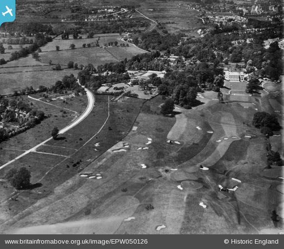
EPW050126 ENGLAND (1936). Woodcote Park (Royal Automobile Club) Golf Course and environs, Woodcote Park, 1936. This image has been produced from a print.
© Copyright OpenStreetMap contributors and licensed by the OpenStreetMap Foundation. 2026. Cartography is licensed as CC BY-SA.
Nearby Images (2)
EPW050126
 Golf Course and environs, Woodcote Park, 1936. This image has been produced from a print.")
EPW050122
, Woodcote Park, from the south-east, 1936. This image has been produced from a damaged negative.")
Details
| Title | [EPW050126] Woodcote Park (Royal Automobile Club) Golf Course and environs, Woodcote Park, 1936. This image has been produced from a print. |
| Reference | EPW050126 |
| Date | May-1936 |
| Link | |
| Place name | WOODCOTE PARK |
| Parish | |
| District | |
| Country | ENGLAND |
| Easting / Northing | 520220, 158291 |
| Longitude / Latitude | -0.27496208648408, 51.310513039531 |
| National Grid Reference | TQ202583 |
Pins
Be the first to add a comment to this image!