
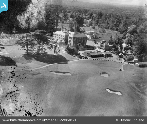
EPW050121 ENGLAND (1936). Woodcote Park house (Royal Automobile Club), Woodcote Park, 1936. This image has been produced from a damaged negative.
© Copyright OpenStreetMap contributors and licensed by the OpenStreetMap Foundation. 2026. Cartography is licensed as CC BY-SA.
Nearby Images (10)
EPW050121
, Woodcote Park, 1936. This image has been produced from a damaged negative.")
EPW050131
, Woodcote Park, 1936. This image has been produced from a damaged negative.")
EPW050128
, Woodcote Park, 1936. This image has been produced from a damaged negative.")
EPW050130
, Woodcote Park, 1936. This image has been produced from a damaged negative.")
EPW025265
, Woodcote Park, 1928. This image has been produced from a print.")
EPW050120
, Woodcote Park, 1936. This image has been produced from a damaged negative.")
EPW050132
, Woodcote Park, 1936")
EPW050123
, Woodcote Park, 1936. This image has been produced from a damaged negative.")
EPW050119
, Woodcote Park, from the south-east, 1936")
EPW050135
, Woodcote Park, from the west, 1936")
Details
| Title | [EPW050121] Woodcote Park house (Royal Automobile Club), Woodcote Park, 1936. This image has been produced from a damaged negative. |
| Reference | EPW050121 |
| Date | May-1936 |
| Link | |
| Place name | WOODCOTE PARK |
| Parish | |
| District | |
| Country | ENGLAND |
| Easting / Northing | 520329, 158731 |
| Longitude / Latitude | -0.27325031165854, 51.314445028692 |
| National Grid Reference | TQ203587 |
Pins
Be the first to add a comment to this image!