
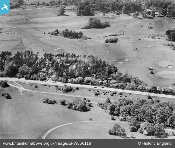
EPW050118 ENGLAND (1936). The Woodcote Park (Royal Automobile Club) Golf Course, Woodcote Park, 1936
© Copyright OpenStreetMap contributors and licensed by the OpenStreetMap Foundation. 2026. Cartography is licensed as CC BY-SA.
Nearby Images (3)
EPW050118
 Golf Course, Woodcote Park, 1936")
EPW035510

EAW049500

Details
| Title | [EPW050118] The Woodcote Park (Royal Automobile Club) Golf Course, Woodcote Park, 1936 |
| Reference | EPW050118 |
| Date | May-1936 |
| Link | |
| Place name | WOODCOTE PARK |
| Parish | |
| District | |
| Country | ENGLAND |
| Easting / Northing | 520897, 158140 |
| Longitude / Latitude | -0.26530376636934, 51.309012296017 |
| National Grid Reference | TQ209581 |
Pins
Be the first to add a comment to this image!