
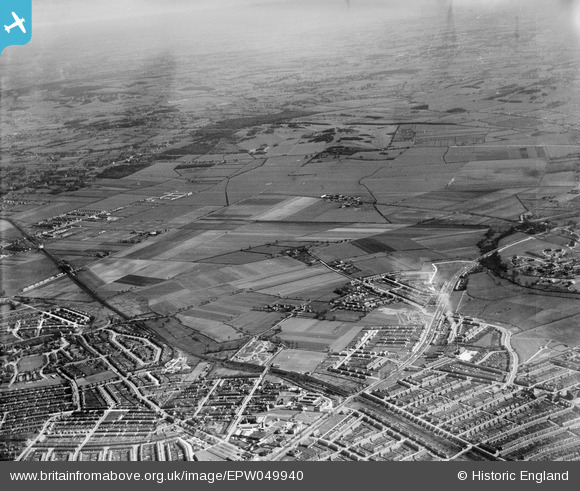
EPW049940 ENGLAND (1936). Countryside to the north-east of Newbury Park Station, Aldborough Hatch, from the south-west, 1936
© Copyright OpenStreetMap contributors and licensed by the OpenStreetMap Foundation. 2025. Cartography is licensed as CC BY-SA.
Nearby Images (2)
EPW049940

EPW049941

Details
| Title | [EPW049940] Countryside to the north-east of Newbury Park Station, Aldborough Hatch, from the south-west, 1936 |
| Reference | EPW049940 |
| Date | April-1936 |
| Link | |
| Place name | ALDBOROUGH HATCH |
| Parish | |
| District | |
| Country | ENGLAND |
| Easting / Northing | 545343, 189367 |
| Longitude / Latitude | 0.098057824913858, 51.58391802194 |
| National Grid Reference | TQ453894 |
Pins

brian |
Wednesday 10th of December 2014 01:39:20 PM | |
|
brian |
Wednesday 10th of December 2014 01:37:18 PM | |
|
brian |
Wednesday 10th of December 2014 01:31:36 PM | |
|
brian |
Wednesday 10th of December 2014 01:30:44 PM | |
|
brian |
Wednesday 10th of December 2014 01:29:24 PM | |
|
brian |
Wednesday 10th of December 2014 01:26:25 PM | |
|
Hermann the German |
Monday 21st of July 2014 01:13:28 PM |