
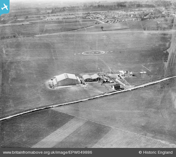
EPW049886 ENGLAND (1936). Gravesend Aerodrome (London East Airport), Gravesend, 1936. This image has been produced from a damaged copy-negative.
© Copyright OpenStreetMap contributors and licensed by the OpenStreetMap Foundation. 2026. Cartography is licensed as CC BY-SA.
Nearby Images (4)
EPW049886
, Gravesend, 1936. This image has been produced from a damaged copy-negative.")
EPW040734

EPR000364
 Airport), Gravesend, 1934")
EPW049887
, Gravesend, 1936. This image has been produced from a damaged copy-negative.")
Details
| Title | [EPW049886] Gravesend Aerodrome (London East Airport), Gravesend, 1936. This image has been produced from a damaged copy-negative. |
| Reference | EPW049886 |
| Date | April-1936 |
| Link | |
| Place name | GRAVESEND |
| Parish | |
| District | |
| Country | ENGLAND |
| Easting / Northing | 566827, 171587 |
| Longitude / Latitude | 0.39950042813624, 51.418221611765 |
| National Grid Reference | TQ668716 |
Pins
Be the first to add a comment to this image!