
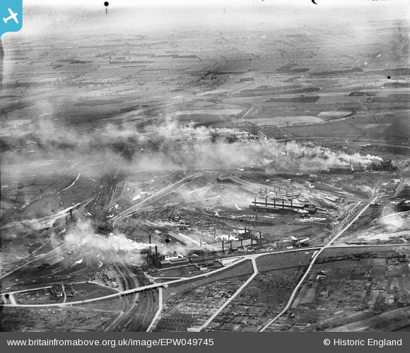
EPW049745 ENGLAND (1936). The Steelworks, Scunthorpe, from the south-west, 1936
© Copyright OpenStreetMap contributors and licensed by the OpenStreetMap Foundation. 2026. Cartography is licensed as CC BY-SA.
Nearby Images (4)
EPW049745

EPW052033

EPW052032

EPW049744

Details
| Title | [EPW049745] The Steelworks, Scunthorpe, from the south-west, 1936 |
| Reference | EPW049745 |
| Date | March-1936 |
| Link | |
| Place name | SCUNTHORPE |
| Parish | |
| District | |
| Country | ENGLAND |
| Easting / Northing | 490590, 411063 |
| Longitude / Latitude | -0.63129654520748, 53.5880732498 |
| National Grid Reference | SE906111 |
Pins
Be the first to add a comment to this image!