
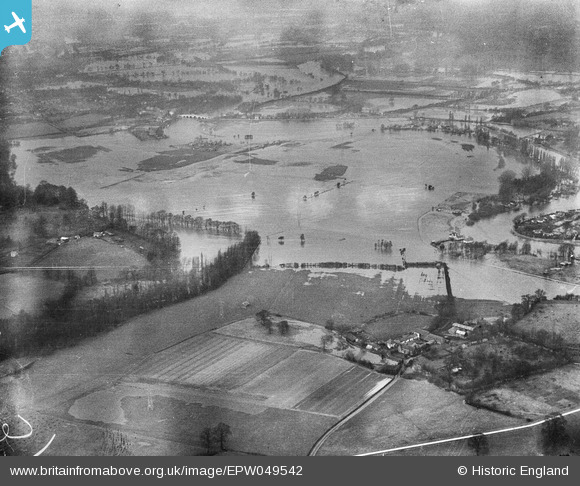
EPW049542 ENGLAND (1936). River Thames in flood around Chertsey Mead and environs, Addlestone, from the south-east, 1936
© Copyright OpenStreetMap contributors and licensed by the OpenStreetMap Foundation. 2025. Cartography is licensed as CC BY-SA.
Nearby Images (2)
EPW049542

EAW003686

Details
| Title | [EPW049542] River Thames in flood around Chertsey Mead and environs, Addlestone, from the south-east, 1936 |
| Reference | EPW049542 |
| Date | January-1936 |
| Link | |
| Place name | ADDLESTONE |
| Parish | |
| District | |
| Country | ENGLAND |
| Easting / Northing | 506528, 165357 |
| Longitude / Latitude | -0.46923365092949, 51.376761670518 |
| National Grid Reference | TQ065654 |
Pins
Be the first to add a comment to this image!