
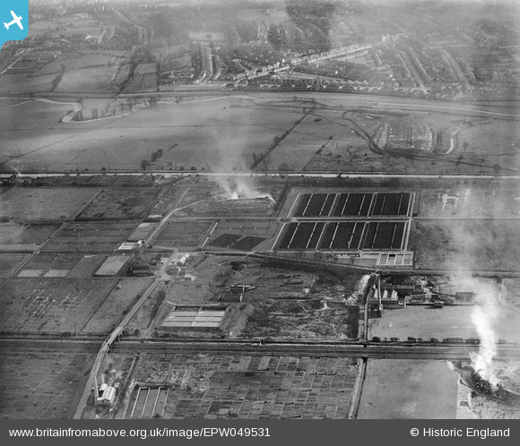
EPW049531 ENGLAND (1935). Edmonton U.D. Council Sewage Farm and environs, Lower Edmonton, 1935
© Copyright OpenStreetMap contributors and licensed by the OpenStreetMap Foundation. 2026. Cartography is licensed as CC BY-SA.
Nearby Images (11)
EPW049531

EPW049699

EPW046019

EPW046021

EPW049721

EPW049720

EPW048903

EPW046015

EPW048908

EPW046016

EPW049702

Details
| Title | [EPW049531] Edmonton U.D. Council Sewage Farm and environs, Lower Edmonton, 1935 |
| Reference | EPW049531 |
| Date | December-1935 |
| Link | |
| Place name | LOWER EDMONTON |
| Parish | |
| District | |
| Country | ENGLAND |
| Easting / Northing | 535948, 193291 |
| Longitude / Latitude | -0.035950958365546, 51.621528424998 |
| National Grid Reference | TQ359933 |
Pins
Be the first to add a comment to this image!