
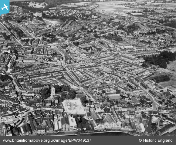
EPW049137 ENGLAND (1935). The town, Ipswich, 1935. This image has been produced from a copy-negative.
© Copyright OpenStreetMap contributors and licensed by the OpenStreetMap Foundation. 2026. Cartography is licensed as CC BY-SA.
Nearby Images (4)
EPW049137

EPW032874

EPW049176

EPW001830

Details
| Title | [EPW049137] The town, Ipswich, 1935. This image has been produced from a copy-negative. |
| Reference | EPW049137 |
| Date | August-1935 |
| Link | |
| Place name | IPSWICH |
| Parish | |
| District | |
| Country | ENGLAND |
| Easting / Northing | 616994, 244380 |
| Longitude / Latitude | 1.1654123528764, 52.054824081991 |
| National Grid Reference | TM170444 |
Pins
Be the first to add a comment to this image!