
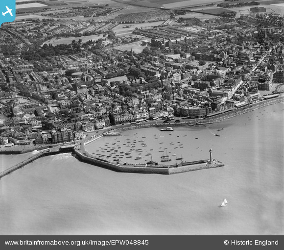
EPW048845 ENGLAND (1935). The harbour and town, Margate, 1935
© Copyright OpenStreetMap contributors and licensed by the OpenStreetMap Foundation. 2026. Cartography is licensed as CC BY-SA.
Nearby Images (19)
EPW048845

EPW009241

EPW018607

EPW000625

EPW048846

EPW018599

EPW048847

EPW048691

EAW015841

EPW048684

EPW048692

EPW000631

EPW000162

EPW048690

EPW048688

EPW048689

EPW048685

EPW048687

EPW048686

Details
| Title | [EPW048845] The harbour and town, Margate, 1935 |
| Reference | EPW048845 |
| Date | August-1935 |
| Link | |
| Place name | MARGATE |
| Parish | |
| District | |
| Country | ENGLAND |
| Easting / Northing | 635331, 171074 |
| Longitude / Latitude | 1.3828874769963, 51.389328568923 |
| National Grid Reference | TR353711 |
Pins
Be the first to add a comment to this image!