
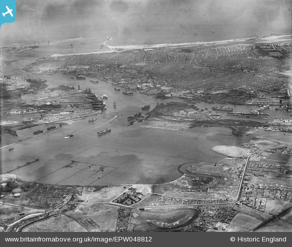
EPW048812 ENGLAND (1935). Jarrow Slake and environs, Jarrow, from the south-west, 1935
© Copyright OpenStreetMap contributors and licensed by the OpenStreetMap Foundation. 2026. Cartography is licensed as CC BY-SA.
Nearby Images (3)
EPW048812

EPW048221

EPW048220

Details
| Title | [EPW048812] Jarrow Slake and environs, Jarrow, from the south-west, 1935 |
| Reference | EPW048812 |
| Date | August-1935 |
| Link | |
| Place name | JARROW |
| Parish | |
| District | |
| Country | ENGLAND |
| Easting / Northing | 434335, 565402 |
| Longitude / Latitude | -1.4634378428398, 54.981960092913 |
| National Grid Reference | NZ343654 |
Pins

N Dunn |
Sunday 30th of March 2014 09:56:52 AM | |
|
N Dunn |
Sunday 15th of September 2013 10:04:31 AM | |
 |
N Dunn |
Sunday 15th of September 2013 10:02:05 AM |
 |
N Dunn |
Sunday 15th of September 2013 09:58:22 AM |

Dylan Moore |
Sunday 5th of May 2013 05:08:16 PM |
