
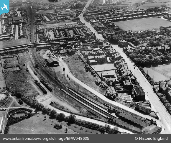
EPW048635 ENGLAND (1935). The goods yard, Bury New Road and environs, Whitefield, 1935
© Copyright OpenStreetMap contributors and licensed by the OpenStreetMap Foundation. 2026. Cartography is licensed as CC BY-SA.
Nearby Images (11)
EPW048635

EPW047498

EPW048632

EPW048656

EPW048644

EPW048658

EPW047501

EPW047499

EPW046170

EPW048646

EPW047500

Details
| Title | [EPW048635] The goods yard, Bury New Road and environs, Whitefield, 1935 |
| Reference | EPW048635 |
| Date | July-1935 |
| Link | |
| Place name | WHITEFIELD |
| Parish | |
| District | |
| Country | ENGLAND |
| Easting / Northing | 380648, 405914 |
| Longitude / Latitude | -2.2921095035151, 53.549258742497 |
| National Grid Reference | SD806059 |
Pins

Paul Williams |
Wednesday 24th of December 2025 12:25:30 PM | |
|
Ian Warburton |
Monday 27th of November 2017 06:06:45 PM | |
|
boltie |
Sunday 19th of January 2014 07:14:56 PM | |
|
parrot |
Monday 20th of May 2013 01:38:01 PM | |
|
parrot |
Monday 20th of May 2013 01:36:29 PM | |
|
parrot |
Monday 20th of May 2013 01:35:53 PM |