
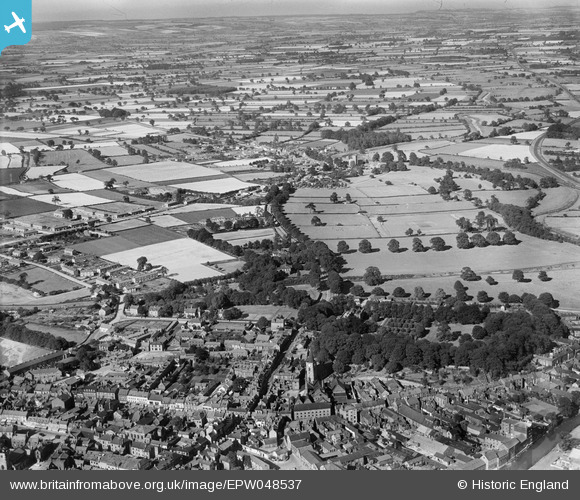
EPW048537 ENGLAND (1935). The town and surrounding countryside, Malton, from the south-west, 1935
© Copyright OpenStreetMap contributors and licensed by the OpenStreetMap Foundation. 2026. Cartography is licensed as CC BY-SA.
Nearby Images (10)
EPW048537

EPW048576

EPW048577

EPW048554

EPW048574

EPW048546

EPW048560

EPW029546

EPW048555

EPW029544

Details
| Title | [EPW048537] The town and surrounding countryside, Malton, from the south-west, 1935 |
| Reference | EPW048537 |
| Date | July-1935 |
| Link | |
| Place name | MALTON |
| Parish | MALTON |
| District | |
| Country | ENGLAND |
| Easting / Northing | 478903, 471771 |
| Longitude / Latitude | -0.79221355696302, 54.135541922317 |
| National Grid Reference | SE789718 |
Pins

Tony Kirby |
Friday 12th of June 2026 07:55:58 PM | |
|
Tony Kirby |
Friday 12th of June 2026 07:54:56 PM | |
|
Tony Kirby |
Friday 12th of June 2026 07:54:00 PM | |
|
Tony Kirby |
Friday 12th of June 2026 07:53:10 PM | |
|
Tony Kirby |
Friday 12th of June 2026 07:52:16 PM |