
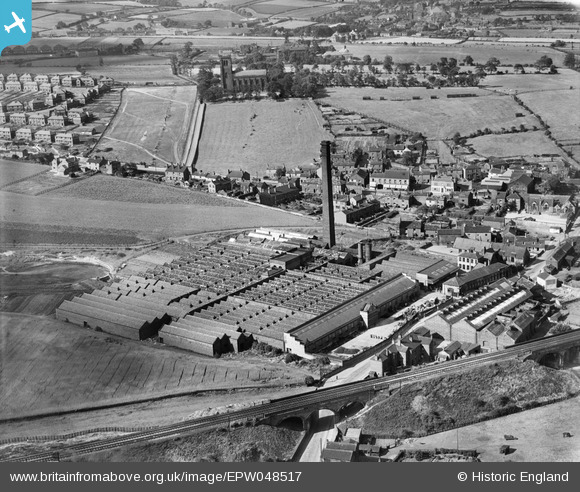
EPW048517 ENGLAND (1935). The Alverthorpe Woollen Mill and St Paul's Church, Alverthorpe, 1935
© Copyright OpenStreetMap contributors and licensed by the OpenStreetMap Foundation. 2026. Cartography is licensed as CC BY-SA.
Nearby Images (6)
EPW048517

EPW048519

EPW048512

EPW048516

EPW048518

EPW048514

Details
| Title | [EPW048517] The Alverthorpe Woollen Mill and St Paul's Church, Alverthorpe, 1935 |
| Reference | EPW048517 |
| Date | July-1935 |
| Link | |
| Place name | ALVERTHORPE |
| Parish | |
| District | |
| Country | ENGLAND |
| Easting / Northing | 430974, 421486 |
| Longitude / Latitude | -1.5309177325965, 53.688678093971 |
| National Grid Reference | SE310215 |
Pins
Be the first to add a comment to this image!