
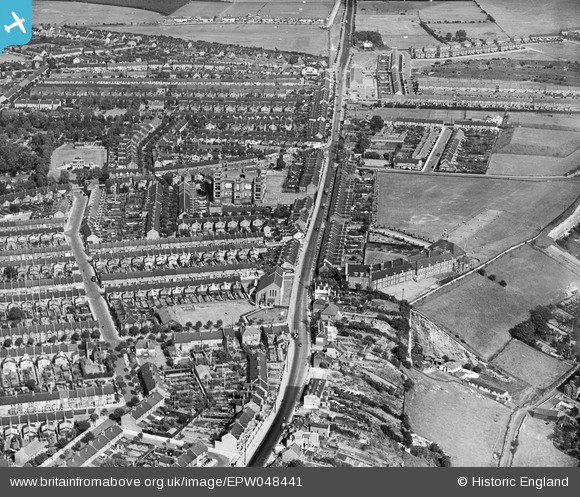
EPW048441 ENGLAND (1935). Rainham Road, Chatham Grammar School for Girls, Jezreel's Tower and environs, Gillingham, 1935
© Copyright OpenStreetMap contributors and licensed by the OpenStreetMap Foundation. 2026. Cartography is licensed as CC BY-SA.
Nearby Images (4)
EPW048441

EPW048442

EPW048440

EPW013284

Details
| Title | [EPW048441] Rainham Road, Chatham Grammar School for Girls, Jezreel's Tower and environs, Gillingham, 1935 |
| Reference | EPW048441 |
| Date | July-1935 |
| Link | |
| Place name | GILLINGHAM |
| Parish | |
| District | |
| Country | ENGLAND |
| Easting / Northing | 577528, 166996 |
| Longitude / Latitude | 0.55095901216518, 51.373727043888 |
| National Grid Reference | TQ775670 |

