
EPW048346 ENGLAND (1935). The Tyne Bridge, Newcastle Swing Bridge and the High Level Bridge, Newcastle upon Tyne, 1935

© Copyright OpenStreetMap contributors and licensed by the OpenStreetMap Foundation. 2026. Cartography is licensed as CC BY-SA.
Nearby Images (21)
EPW048346

EPW054559

EPW048229

EPW020568

EPW025016

EPW054561

EPW019820

EPW048235

EPW048345

EPW020570

EPW048805

EPW020569

EPW025015

EPW048799

EPW048263

EPW010393

EPW048800

EPW048230

EAW405203

EPW048803

EPW019832

Details
| Title | [EPW048346] The Tyne Bridge, Newcastle Swing Bridge and the High Level Bridge, Newcastle upon Tyne, 1935 |
| Reference | EPW048346 |
| Date | July-1935 |
| Link | |
| Place name | NEWCASTLE UPON TYNE |
| Parish | |
| District | |
| Country | ENGLAND |
| Easting / Northing | 425293, 563769 |
| Longitude / Latitude | -1.6048792751445, 54.967825430355 |
| National Grid Reference | NZ253638 |
Pins

Millie |
Tuesday 10th of January 2017 06:01:09 PM |
User Comment Contributions
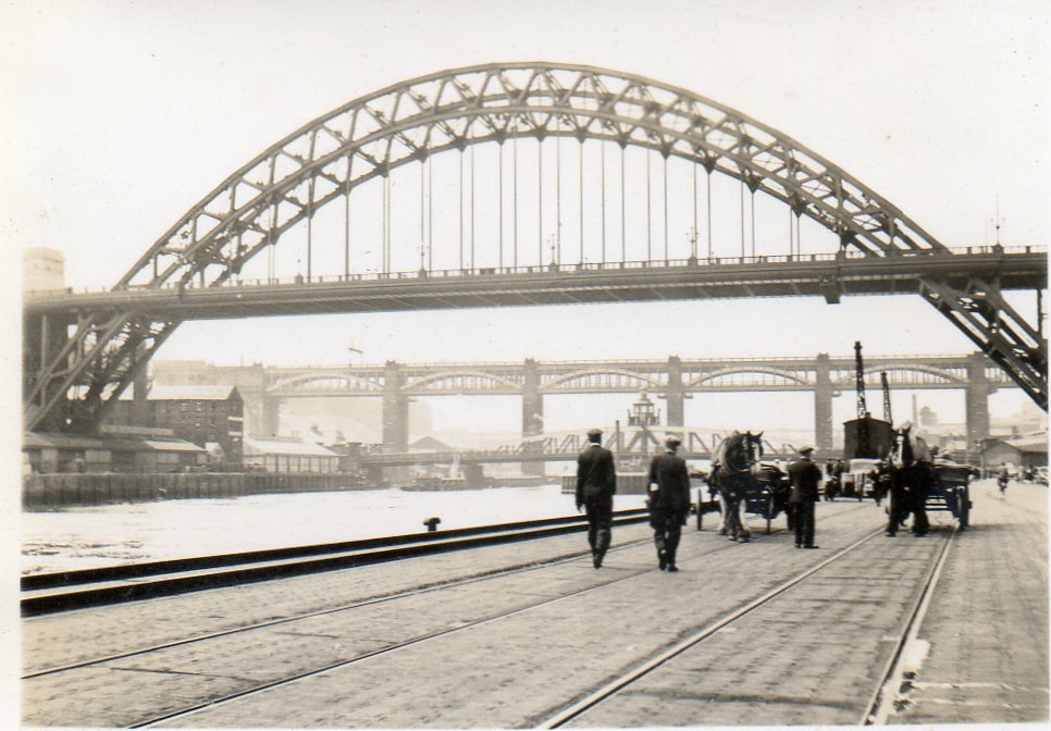
Snapshot taken from Quayside June or July 1939 |

Class31 |
Monday 7th of April 2014 04:00:41 PM |

A classic view of three of Tyneside's bridges looking north-east from the Gateshead side, from left to right in the photograph: High Level Bridge (1849), Swing Bridge (1876) and, the most famous, The Tyne Bridge (1928). |

John Swain |
Saturday 11th of May 2013 10:14:33 AM |