
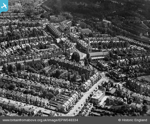
EPW048334 ENGLAND (1935). St James's Church and the surrounding residential area, Muswell Hill, 1935
© Copyright OpenStreetMap contributors and licensed by the OpenStreetMap Foundation. 2026. Cartography is licensed as CC BY-SA.
Nearby Images (15)
EPW048334

EPW048330

EPW048337

EPW048331

EPW048336

EPW048339

EPW048333

EPW048332

EPW048340

EPW048338

EPW048335

EPW048329

EPW038229

EPW038226

EPW038223

Details
| Title | [EPW048334] St James's Church and the surrounding residential area, Muswell Hill, 1935 |
| Reference | EPW048334 |
| Date | July-1935 |
| Link | |
| Place name | MUSWELL HILL |
| Parish | |
| District | |
| Country | ENGLAND |
| Easting / Northing | 528572, 189481 |
| Longitude / Latitude | -0.1438477717797, 51.589019349111 |
| National Grid Reference | TQ286895 |
Pins

Diana Beauclerk |
Monday 20th of January 2020 08:51:52 AM | |
|
Diana Beauclerk |
Sunday 19th of January 2020 05:11:11 AM | |
|
Diana Beauclerk |
Sunday 19th of January 2020 05:06:31 AM | |
|
Diana Beauclerk |
Sunday 19th of January 2020 04:59:52 AM | |
|
Diana Beauclerk |
Sunday 19th of January 2020 04:59:09 AM | |
|
Diana Beauclerk |
Sunday 19th of January 2020 04:53:59 AM | |
|
Diana Beauclerk |
Sunday 19th of January 2020 04:49:02 AM | |
|
Diana Beauclerk |
Sunday 19th of January 2020 04:47:45 AM |