
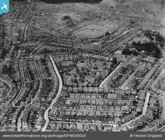
EPW048319 ENGLAND (1935). St Andrew's Park, the County Cricket Ground and the surrounding residential area, Ashley Down, 1935
© Copyright OpenStreetMap contributors and licensed by the OpenStreetMap Foundation. 2026. Cartography is licensed as CC BY-SA.
Nearby Images (4)
EPW048319

EPW048320

EPW048321

EPW048322

Details
| Title | [EPW048319] St Andrew's Park, the County Cricket Ground and the surrounding residential area, Ashley Down, 1935 |
| Reference | EPW048319 |
| Date | July-1935 |
| Link | |
| Place name | ASHLEY DOWN |
| Parish | |
| District | |
| Country | ENGLAND |
| Easting / Northing | 359328, 175114 |
| Longitude / Latitude | -2.5856573407897, 51.473039205048 |
| National Grid Reference | ST593751 |
Pins
Be the first to add a comment to this image!