
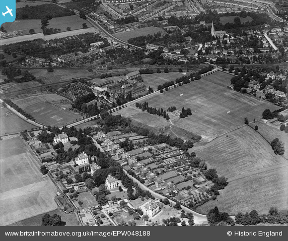
EPW048188 ENGLAND (1935). Hatherley Road, Dean Close Memorial School and environs, Cheltenham, 1935
© Copyright OpenStreetMap contributors and licensed by the OpenStreetMap Foundation. 2026. Cartography is licensed as CC BY-SA.
Nearby Images (13)
EPW048188

EPW048185

EPW048184

EPW048183

EPW048182

EPW048187

EPW048186

EPW048189

EPR000394

EPW024133

EPW000172

EPW000176

EPW048200

Details
| Title | [EPW048188] Hatherley Road, Dean Close Memorial School and environs, Cheltenham, 1935 |
| Reference | EPW048188 |
| Date | July-1935 |
| Link | |
| Place name | CHELTENHAM |
| Parish | |
| District | |
| Country | ENGLAND |
| Easting / Northing | 392985, 221532 |
| Longitude / Latitude | -2.1019485405075, 51.891858560848 |
| National Grid Reference | SO930215 |
Pins

drjameslambert |
Friday 23rd of May 2014 12:27:50 PM |