
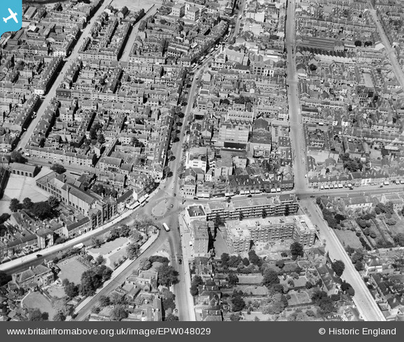
EPW048029 ENGLAND (1935). The Five Ways Junction and environs, Five Ways, 1935
© Copyright OpenStreetMap contributors and licensed by the OpenStreetMap Foundation. 2026. Cartography is licensed as CC BY-SA.
Nearby Images (9)
EPW048029

EPW005403

EPW048032

EPW048027

EPW048028

EPW048033

EPW048031

EPW008262

EPW048030

Details
| Title | [EPW048029] The Five Ways Junction and environs, Five Ways, 1935 |
| Reference | EPW048029 |
| Date | June-1935 |
| Link | |
| Place name | FIVE WAYS |
| Parish | |
| District | |
| Country | ENGLAND |
| Easting / Northing | 405701, 286089 |
| Longitude / Latitude | -1.9160619416143, 52.472334766566 |
| National Grid Reference | SP057861 |
Pins

Graham |
Sunday 24th of May 2020 11:30:33 AM | |
|
Graham |
Sunday 24th of May 2020 11:29:49 AM | |
|
Graham |
Sunday 24th of May 2020 11:29:16 AM | |
|
Griffin |
Tuesday 13th of October 2015 04:58:15 PM | |
|
Martin |
Thursday 13th of February 2014 10:19:29 PM | |
|
PURCELL |
Sunday 17th of November 2013 10:58:46 AM |