
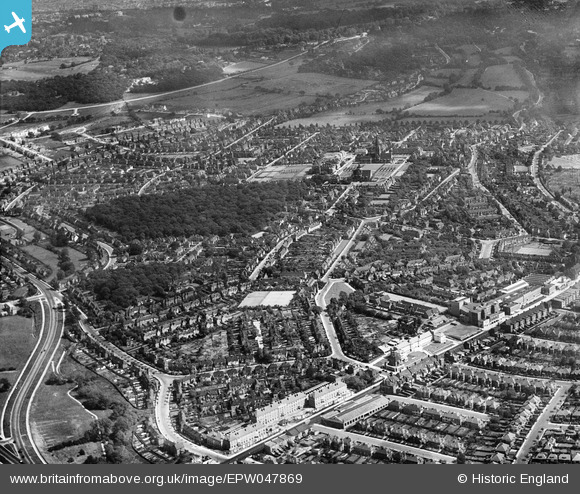
EPW047869 ENGLAND (1935). Willifield Way and environs, Hampstead Garden Suburb, 1935
© Copyright OpenStreetMap contributors and licensed by the OpenStreetMap Foundation. 2026. Cartography is licensed as CC BY-SA.
Nearby Images (7)
EPW047869

EPW048103

EPW048250

EPW048099

EPW048100

EPW048096

EPW048101

Details
| Title | [EPW047869] Willifield Way and environs, Hampstead Garden Suburb, 1935 |
| Reference | EPW047869 |
| Date | June-1935 |
| Link | |
| Place name | HAMPSTEAD GARDEN SUBURB |
| Parish | |
| District | |
| Country | ENGLAND |
| Easting / Northing | 525073, 188979 |
| Longitude / Latitude | -0.19451322443878, 51.58529514031 |
| National Grid Reference | TQ251890 |
Pins
Be the first to add a comment to this image!