
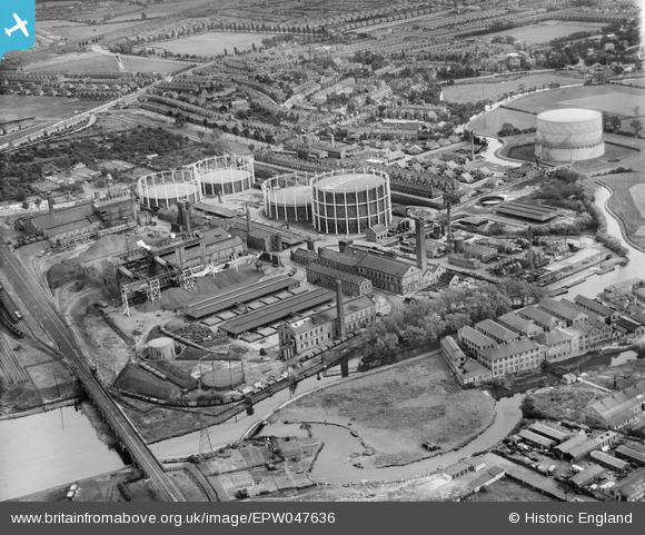
EPW047636 ENGLAND (1935). Leicester Corporation Gas Works and environs, Leicester, 1935
© Copyright OpenStreetMap contributors and licensed by the OpenStreetMap Foundation. 2026. Cartography is licensed as CC BY-SA.
Nearby Images (10)
EPW047636

EPW005101

EPW047631

EPW047633

EPW047629

EPW047634

EPW035990

EPW035989

EPW047630

EPW047632

Details
| Title | [EPW047636] Leicester Corporation Gas Works and environs, Leicester, 1935 |
| Reference | EPW047636 |
| Date | June-1935 |
| Link | |
| Place name | LEICESTER |
| Parish | |
| District | |
| Country | ENGLAND |
| Easting / Northing | 457920, 302510 |
| Longitude / Latitude | -1.1444062923887, 52.616914633678 |
| National Grid Reference | SK579025 |
Pins
Be the first to add a comment to this image!
User Comment Contributions
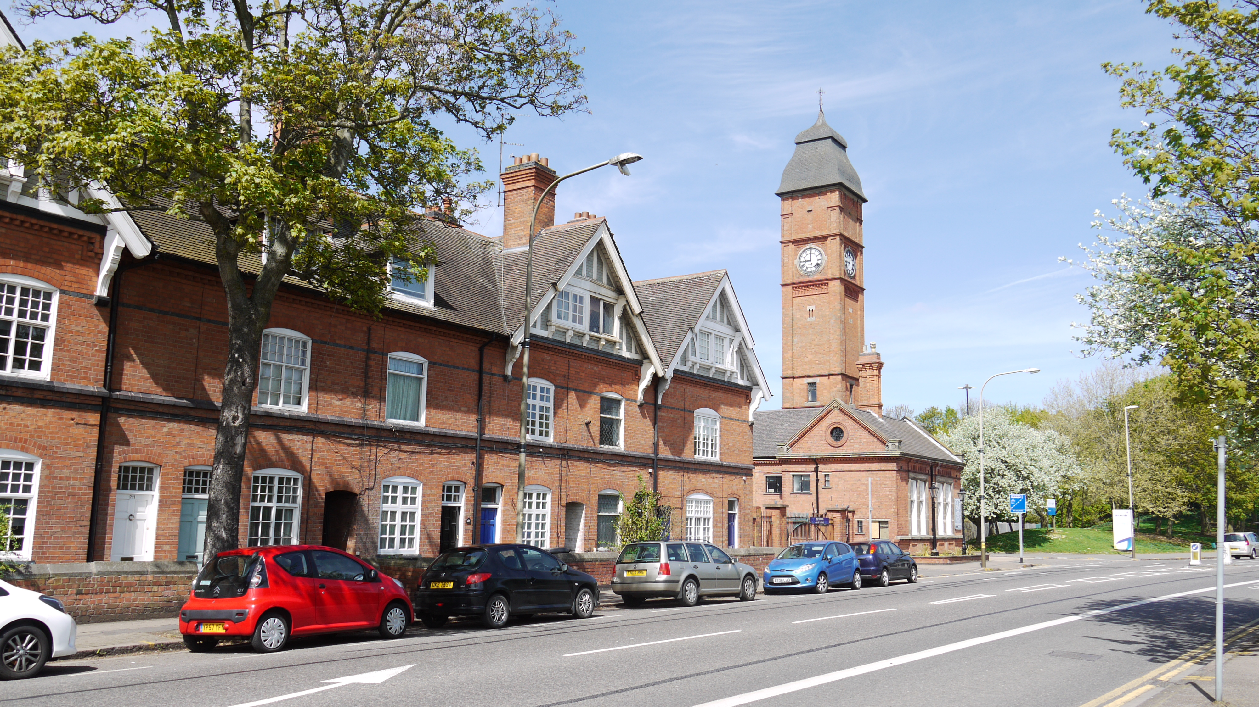
Gas Works, Aylestone Road, Leicester, 04/05/2015 |

Class31 |
Tuesday 5th of May 2015 11:45:55 AM |